|
|
|
| FL Maps > Region > 1860-1879 |
|
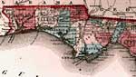
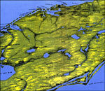
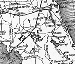
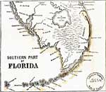
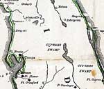
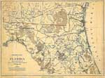
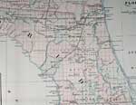
Detail - Johnson's Florida,
1860 |
|
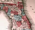
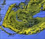
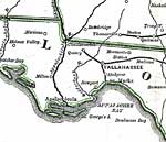
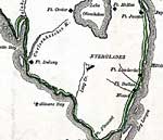
Detail - Johnson's Florida,
1860 |
|
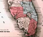
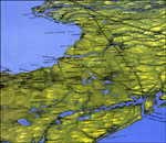
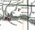
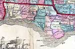
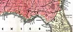
Detail - Johnson's Florida,
1860 |
|
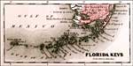
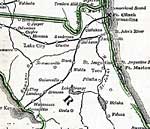
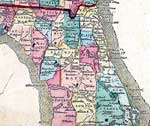
Detail - Johnson's Florida,
1860 |
|
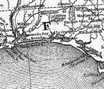
Panorama of the seat of war of Central Florida ,
1861 |
|
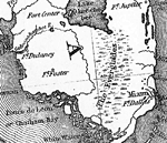
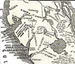
Panorama of the seat of war of Southern Florida ,
1861 |
|
Panorama of the seat of war of Northern Florida ,
1861 |
|
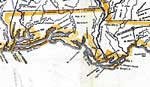
Detail - Thayer's statistical and military map of the middle and southern states,
1861 |
|
Detail - Thayer's statistical and military map of the middle and southern states,
1861 |
|
Detail - Thayer's statistical and military map of the middle and southern states,
1861 |
|
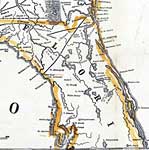
Detail - Perrine's New military map illustrating the seat of war,
1862 |
|
Detail - Perrine's New military map illustrating the seat of war,
1862 |
|
Detail - Perrine's New military map illustrating the seat of war,
1862 |
|
Detail - The historical war map,
1862 |
|
Detail - The historical war map,
1862 |
|
Detail - The historical war map,
1862 |
|
Detail - The historical war map,
1862 |
|
Detail - The historical war map,
1862 |
|
Detail - Lloyd's new county map of the United States and Canadas...,
1863 |
|
Detail - Lloyd's new county map of the United States and Canadas...,
1863 |
|
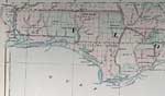
Northern Part of Florida,
1864 |
|
Detail - Lloyd's new military map of the border & southern states ,
1865 |
|
Detail - Lloyd's new military map of the border & southern states ,
1865 |
|
Detail - Asher & Adams' Florida,
1871 |
|
Detail - Asher & Adams' Florida,
1871 |
| Next | Last |
| FL Maps > Region > 1860-1879 |
Maps ETC
is a part of the
Educational Technology Clearinghouse
Produced by the
Florida Center for Instructional Technology
© 2007
College of Education
,
University of South Florida