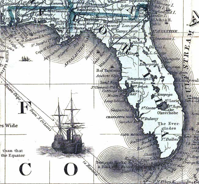
Description: A detail from "Colton's rail-road and military map of the United States, Mexico, the West Indies, &c." showing railroads, major towns, forts, rivers, and coastline of Florida in 1862.
Place Names: 1860-1879, Amelia Island, Cape Canaveral, Jacksonville, Saint Augustine, Ft. Dallas, Tampa, Tallahassee, Pensacola, Lake Okeechobee, Key West, St. Marks
ISO Topic Categories: boundaries, inlandWaters, oceans, society, transportation
Keywords: Detail - Colton's rail-road and military map of the United States, Mexico, the West Indies, physical, political, transportation, historical, physical features, major political subdivisions, roads, railroads, Civil War, boundaries, inlandWaters, oceans, society, transportation, Unknown,1862
Source: Joseph Hutchins Colton, (New York, NY: Colton, 1862)
Map Credit: Courtesy of the Geography and Map Division of the Library of Congress |
|