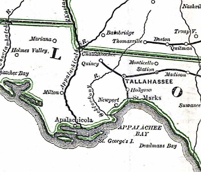
Description: This detail is from Russell's 1862 historical war map, showing Tallahassee, the Appalachicola River, and the Appalachee Bay area. The railroads from St. Marks and Quincy to Tallahassee are shown, as well as the route from Tallahassee eastwart to Jacksonville.
Place Names: 1860-1879, Apalachicola, Appalachee Bay, St. Marks, Tallahassee, Madison, Quincy, Appalachicola River, Mariana,
ISO Topic Categories: boundaries, inlandWaters, oceans, society, transportation
Keywords: Detail - The historical war map, physical, political, statistical, historical, transportation, physical features, major political subdivisions, population, railroads, Civil War, boundaries, inlandWaters, oceans, society, transportation, Unknown,1862
Source: Benjamin B. Russell, The historical war map (Buffalo, NY: Asher & Co. , 1862)
Map Credit: Courtesy of the Geography and Map Division of the Library of Congress |
|