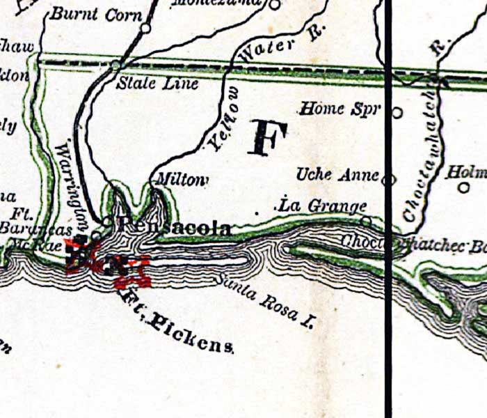
Description: This detail is from Russell's 1862 historical war map, showing the area around Pensacola, including Ft. Barancas, Ft. McRae, and Ft. Pickens. The railroad from Pensacola toward Montgomery is shown.
Place Names: 1860-1879, Pensacola, Ft. Barancas, Ft. McRae, Ft. Pickens, Milton, Home Springs, Uche Anne, La Grange, Santa Rosa Island
ISO Topic Categories: boundaries, inlandWaters, oceans, society, transportation
Keywords: Detail - The historical war map, physical, political, statistical, historical, transportation, physical features, major political subdivisions, population, railroads, Civil War, boundaries, inlandWaters, oceans, society, transportation, Unknown,1862
Source: Benjamin B. Russell, The historical war map (Buffalo, NY: Asher & Co. , 1862)
Map Credit: Courtesy of the Geography and Map Division of the Library of Congress |
|