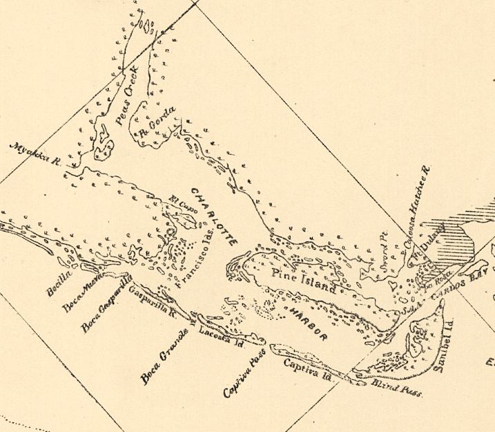
Description: This detail of a map of the Gulf of Mexico showing the Charlotte Harbor area with surrounding islands and bodies of water, including bays and rivers current to 1861. The map scale is 1:600,000.
Place Names: Charlotte, Charlotte Harbor, Myakka River, Peace River, Pine Island,
ISO Topic Categories: inlandWaters, oceans
Keywords: Detail - Preliminary chart of the northeastern part of the Gulf of Mexico, physical, physical features, inlandWaters, oceans, Unknown,1861
Source: United States Coastal Survey, (Washington, DC: Government Printing Office, 1861)
Map Credit: Courtesy of the Geography and Map Division of the Library of Congress |
|