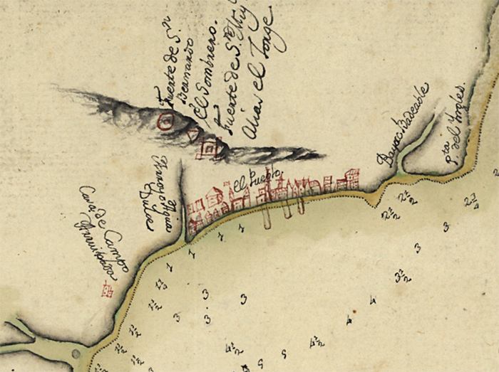
Description: This detail of a map is of a the Pensacola area current to 1782. There are ledger markings to indicate the water depth of specific places in the Gulf of Mexico. The settlement is denoted in red. Major waterways are marked, as well as a ridge to the north of the settlement.
Place Names: Escambia, Pensacola, Gulf of Mexico,
ISO Topic Categories: inlandWaters, oceans
Keywords: Detail - Plano de la bahia de Pansacola, physical, hydrological, physical features, water depths, inlandWaters, oceans, Unknown,1782
Source: Antonio Donato Paredes, (, : Antonio Donato Paredes, 1782)
Map Credit: Courtesy of the Geography and Map Division of the Library of Congress |
|