Maps Site map
  FL Maps > Local > Escambia
Site Map  

City and Local Maps for Escambia County

Click on a thumbnail image to view a full size version of that map.

  Record   1   to   25  of   51

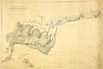
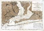
A Chart of the Bay and Harbour of Pensacola, 1780
Digitization provided by the USF Libraries Digitization Center. Rare Maps. This is a map showing the chart of the bay and harbor of Pensacola, circa 1780. This map shows physical features, cities and towns, inland waters and water depths. The stateme...

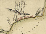
Detail - Plano de la bahia de Pansacola, 1782
This detail of a map is of a the Pensacola area current to 1782. There are ledger markings to indicate the water depth of specific places in the Gulf of Mexico. The settlement is denoted in red. Major waterways are marked, as well as a ridge to the n...

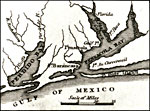
Detail - Florida, 1834
Digitization provided by the USF Libraries Digitization Center. Rare Maps. This map of Florida was originally published in William Darby's Memoir on the geography and natural and civil history of Florida. This detail shows Pensacola Bay, Pensacola, a...

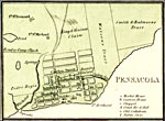
Detail - Map of Florida, 1850
This is a detail of a map that shows Florida current to 1850. The detail highlights Pensacola. There are streets depicted, as well as a burying ground and public square. There is a legend to detail the major institutions of the township. Minor waterw...

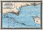
A correct map of Pensacola Bay, 1860
Digitization provided by the USF Libraries Digitization Center. Rare Maps. This is a map of the Pensacola area showing all fortifications including Fort Pickens and topography of the coast from the latest government survey circa 1856. Depths shown by...

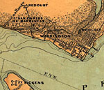
Detail - A correct map of Pensacola Bay, 1860
Digitization provided by the USF Libraries Digitization Center. Rare Maps. This is a detail of a map of the Pensacola area showing many fortifications including Fort Pickens and topography of the coast from the latest government survey circa 1856. De...

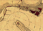
Detail - Sketch of Pensacola Navy Yard and Fort Dickens, 1860s
This is a detail of a map that shows Florida current to 1850. The detail highlights Pensacola. There detail indicates fortifications, half-mile distance circles centered on Fort Pickens, beacons, roads and streets, vegetation, and a few soundings. Th...

Map of Warrington, 1860s
This map is a topographical view of Warrington and its vicinity and was created between 1861 and 1865. Large bodies of water included on the map are Bayou Grande, Swash Channel, and the Gulf Of Mexico. Fort Pickens is noted on the map, as well as the...

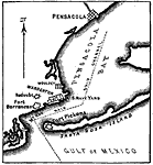
Map of Pensacola, 1861
A map of Pensacola Bay at the time of Florida's secession from the union on January 12, 1861. The map shows Fort Barrancas and Fort McRae on the mainland, which quickly came under Confederate control, and Fort Pickens on Santa Rosa Island, which was...

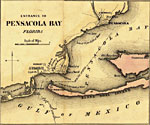
Detail - Entrance to Pensacola Bay, 1862
This detail of a map is from Colton's plans of U. S. harbors showing the position & vicinities of the most important fortifications on the sea-board and in the interior From U. S. surveys and other authentic sources. This larger map is composed of tw...

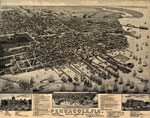
Pensacola Florida, 1885
This map is of a panoramic view of Pensacola, the county seat of Escambia County, current to 1885. The map shows details about streets, harbors, railroads, and ship yards. Labeled on the map are many local businesses, churches, the Courthouse, and po...

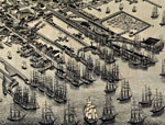
Detail - Pensacola Florida, 1885
This detail of a map is of a panoramic view of Pensacola, the county seat of Escambia County, current to 1885. The map shows details about streets, harbors, railroads, and ship yards. Central to the map is the railway that leads to the ships. Dwellin...

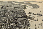
Detail - Pensacola Florida, 1885
This detail of a map is of a panoramic view of Pensacola, the county seat of Escambia County, current to 1885. The map shows details about streets, harbors, railroads, and ship yards. This map highlights Pensacola's relationship with Escambia Bay and...

Escambia Bay, 1890
Map shows Escambia Bay in 1890. Shows all major cities, towns, rivers, lakes, and railroads present in the vicinity of Pensacola in 1890. Shows portions of all counties that surround Pensacola and the Gulf of Mexico....

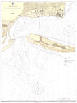
Pensacola Bay Entrance, No. 413, 1925
A National Oceanic and Atmospheric Administration map of the entrance to the Pensacola Bay current to 1925. This Gulf Coast Survey chart shows all soundings expressed in feet. Navigational aids such as lights, beacons, buoys, and measures of magnetic...

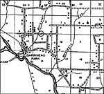
Barrineau Park, 1936
This is a detailed map of the city Barrineau Park in Escambia County, Florida. Section Township Range (STR) is shown. This map shows state roads, railroads, businesses, churches, cemeteries, turpentine stills, schools, post offices, farm units and dw...

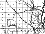
Barth, 1936
This is a detailed map of the city Barth in Escambia County, Florida. Section Township Range (STR) is shown. This map shows state roads, railroads, businesses, churches, cemeteries, schools, post offices, tourist camps, farm units and dwellings other...

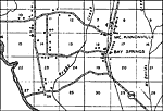
Bay Springs, 1936
This is a detailed map of the city Bay Springs in Escambia County, Florida. Section Township Range (STR) is shown. This map shows state roads, railroads, businesses, churches, cemeteries, schools, post offices, turpentine stills, saw mills, farm unit...

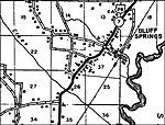
Bluff Springs, 1936
This is a detailed map of the city Bluff Springs in Escambia County, Florida. Section Township Range (STR) is shown. This map shows state roads, railroads, businesses, churches, cemeteries, schools, post offices, factories, tenant houses, farm units ...

Bogia, 1936
This is a detailed map of the city Bogia in Escambia County, Florida. Section Township Range (STR) is shown. This map shows state roads, railroads, businesses, churches, cemeteries, schools, tourist camp, farm units and dwellings other than farms.

Bratt, 1936
This is a detailed map of the city Bratt in Escambia County, Florida. Section Township Range (STR) is shown. This map shows state roads, railroads, businesses, churches, tenant houses, cemeteries, schools, tourist camp, turpentine stills, saw mills, ...

Brent, 1936
This is a detailed map of the city Brent in Escambia County, Florida. Section Township Range (STR) is shown. This map shows state roads, businesses, cemeteries, churches, schools, tourist camp, farm units and dwellings other than farms.

Brickton, 1936
This is a detailed map of the city Brickton in Escambia County, Florida. Section Township Range (STR) is shown. This map shows state roads, railroads, businesses, cemeteries, churches, schools, farm units and dwellings other than farms.

Byrnville, 1936
This is a detailed map of the city Byrnville in Escambia County, Florida. Section Township Range (STR) is shown. This map shows state roads, churches, schools, post offices, farm units and dwellings other than farms. Key...

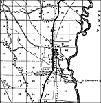
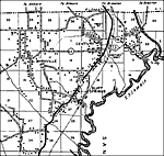
Century, 1936
This is a detailed map of the city Century in Escambia County, Florida. Section Township Range (STR) is shown. This map shows state roads, railroads, churches, schools, factories, post offices, businesses, tourist camps, farm units and dwellings othe...

Next Last


  FL Maps > Local > Escambia
Site Map  

Maps ETC is a part of the Educational Technology Clearinghouse
Produced by the Florida Center for Instructional Technology © 2007
College of Education , University of South Florida