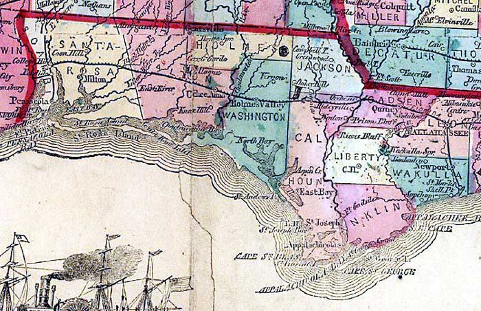
Description: This detail from the 1863 Lloyd's new county map of the United States shows the western Florida panhandle from Pensacola to Tallahassee. The map shows counties of the period, forts, and railroad routes.
Place Names: 1860-1879, Pensacola, Milton, Quincy, Tallahassee, St. Marks, Cape San Blas
ISO Topic Categories: boundaries, inlandWaters, oceans, society, transportation
Keywords: Detail - Lloyd's new county map of the United States and Canadas..., physical, political, transportation, historical, physical features, major political subdivisions, county borders, railroads, Civil War, boundaries, inlandWaters, oceans, society, transportation, Unknown,1863
Source: , (New York, NY : Schönberg & Co. , 1863)
Map Credit: Courtesy of the Geography and Map Division of the Library of Congress |
|