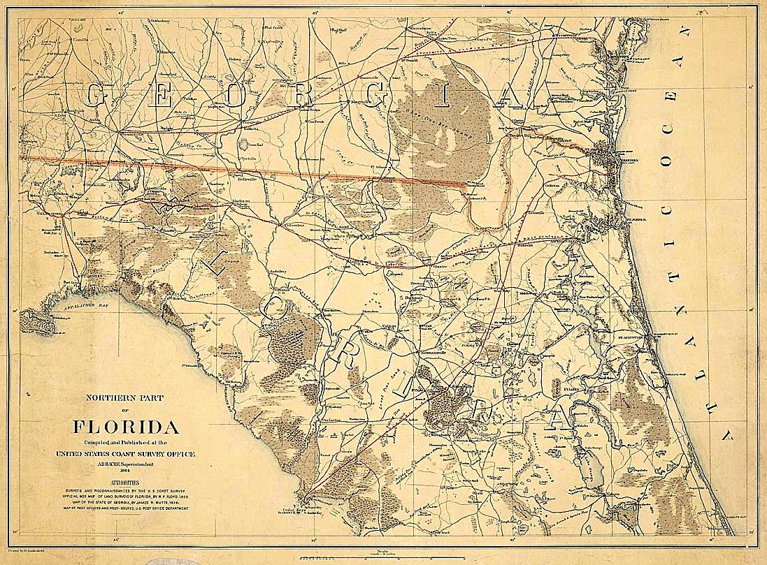
Description: A map of northern peninsular Florida from the U.S. Coast Survey Office showing major rivers, towns, roads, and railroads.
Place Names: 1860-1879, Fernandina, Saint Augustine, Alligator, Amelia Island, Cedar Key, Madison, Tallahassee
ISO Topic Categories: boundaries, inlandWaters, oceans, society, transportation
Keywords: Northern Part of Florida, physical, political, transportation, historical, physical features, major political subdivisions, roads, railroads, Civil War, boundaries, inlandWaters, oceans, society, transportation, Unknown,1864
Source: H. Lindenkohl, (Washington, DC: United States Coast Survey Office, 1864)
Map Credit: Courtesy of the National Archives and Records Administration |
|