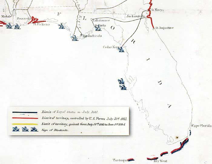
Description: This detail of Lindenkohl's 1863 map shows the extent of coastal territory controlled by Union Forces as of July 31, 1863 marked in red, and the areas under naval blockade by symbols of ships. The railroad routes from Pensacola to Mobile and Montgomery, and from St. Marks to Tallahassee and Jacksonville are shown. The original map shows 1860 Census data indicating Florida had a free population of 78,680 and a slave population of 61,745.
Place Names: 1860-1879, Pensacola, Ft. Pickens, Appalachicola, St. Marks, Tallahassee, Jacksonville, St. Marys, Saint Augustine, Cape Florida, Key West, Tortugas, Cedar Keys,
ISO Topic Categories: boundaries, inlandWaters, oceans, society, transportation
Keywords: Detail - Historical sketch of the rebellion, physical, political, transportation, historical, physical features, major political subdivisions, railroads, Civil War, boundaries, inlandWaters, oceans, society, transportation, Unknown,1863
Source: Henry Lindenkohl - Chas. G. Krebs, lith., (Washington, DC: Office of the U.S. Coast Survey, 1863)
Map Credit: Courtesy of the Geography and Map Division of the Library of Congress |
|
