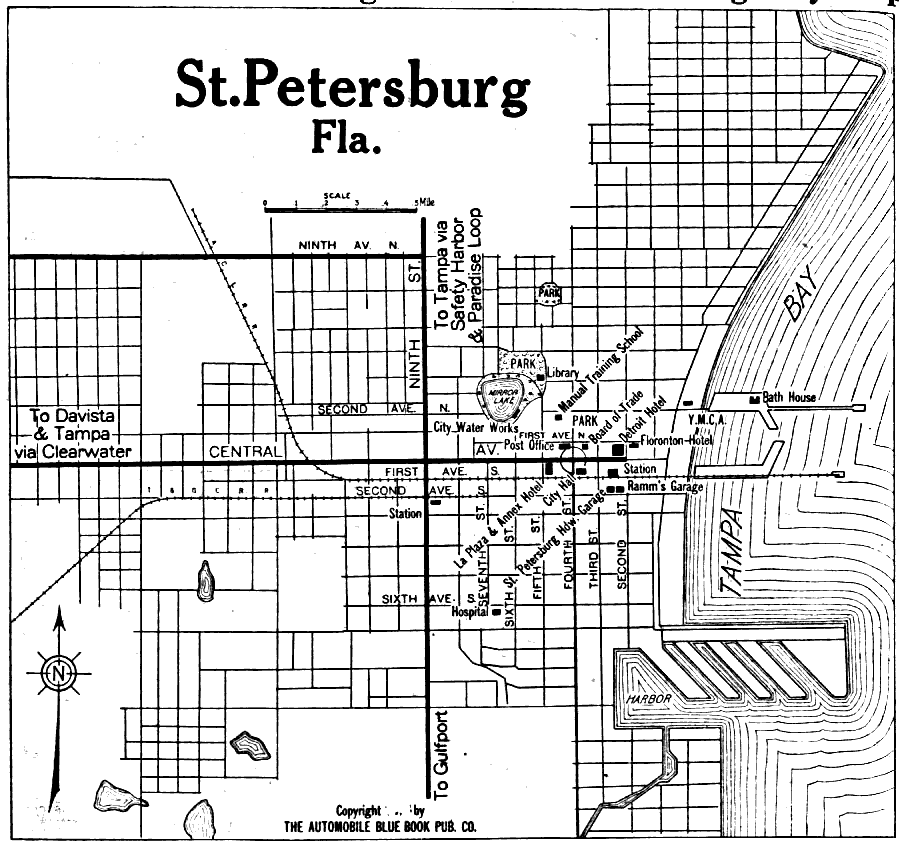
Description: Map of St. Petersburg, Florida in 1919 C.E. Map shows local roads and railroads. Shows local buildings in St. Petersburg. Shows local lakes and the Tampa Bay.
Place Names: Pinellas, St. Petersburg, Davista, Safety Harborm Tampa Bay, Gulfport,
ISO Topic Categories: transportation, inlandWaters, structure
Keywords: St. Petersburg Florida, physical, transportation, roads, railroads, transportation, inlandWaters, structure, Unknown,1919
Source: The Automobile Blue Book Corporation, Middle Atlantic and Southeastern Automobile Blue Book 1922 (New York, NY: The Automobile Blue Book Corporation, 1919)
Map Credit: Courtesy the private collection of Roy Winkelman |
|