|
|
|
| FL Maps > Local > Pinellas |
Click on a thumbnail image to view a full size version of that map.
|
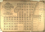
Map of the Town of Saint Petersburg,
1888 |
|
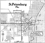
St. Petersburg Florida,
1919 |
|
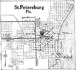
St. Petersburg Florida,
1922 |
|
Tarpon Springs,
1977 |
|
Clearwater,
1977 |
|
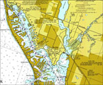
Redington Beach to Madeira Beach,
1977 |
|
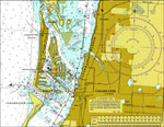
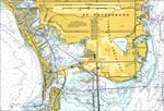
St. Petersburg,
1977 |
|
St. Petersburg,
1977 |
|
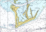
Mullet Key,
1977 |
|
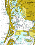
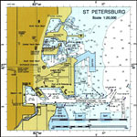
St. Petersburg,
1996 |
|
St. Petersburg,
2000 |
|
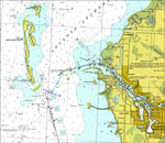
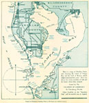
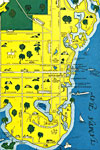
Map of the Tampa Bay Fishing Sites,
mid 1900s |
|
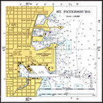
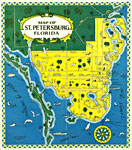
Map of Saint Petersburg, Florida,
mid 1900s |
|
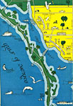
Detail - Map of Saint Petersburg, Florida,
mid 1900s |
|
Detail - Map of Saint Petersburg, Florida,
mid 1900s |
| FL Maps > Local > Pinellas |
Maps ETC
is a part of the
Educational Technology Clearinghouse
Produced by the
Florida Center for Instructional Technology
© 2007
College of Education
,
University of South Florida