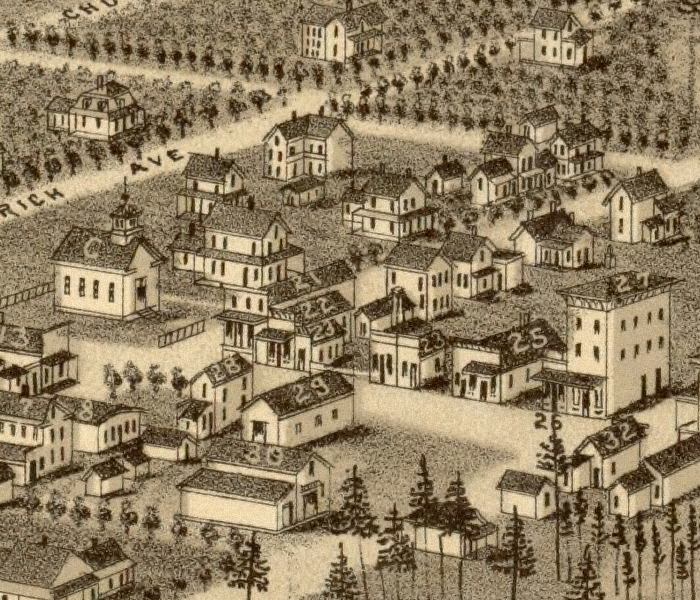
Description: This detail of a map is of a panoramic view of De Land, current to 1884. The map shows details about streets and various points of interest. This map highlights various churches, hotels, and small businesses. The detail shows a closer look at dwellings. The map is from a bird's-eye-view and is drawn to perspective rather than scale. The perspective is from southwest to northeast.
Place Names: Volusia,
ISO Topic Categories: inlandWaters, transportation, oceans
Keywords: Detail - Bird's Eye View of De Land, Fla., physical, transportation, physical features, roads, inlandWaters, transportation, oceans, Unknown,1884
Source: Beck & Pauli, (Milwaukee, WI: Milwaulkee, Norris, Wellge, & Company, 1884)
Map Credit: Courtesy of the Geography and Map Division of the Library of Congress |
|