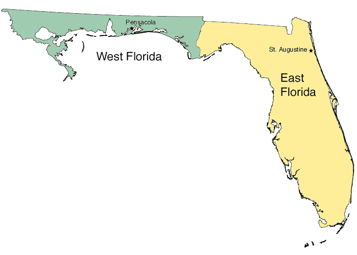
Description: A worksheet outline map showing the boundaries between East and West Florida and the seats of government, Pensacola and St. Augustine.
Place Names: 2000-, blank state map, Florida state outline map, Pensacola, Saint Augustine, West Florida, East Florida,
ISO Topic Categories: boundaries
Keywords: East and West Florida, physical, political, koutline, physical features, major political subdivisions, local jurisdictions, boundaries, Unknown,2008
Source: Florida Center for Instructional Technology, (Tampa, FL: FCIT, 2008)
Map Credit: Courtesy of Roy Winkelman |
|