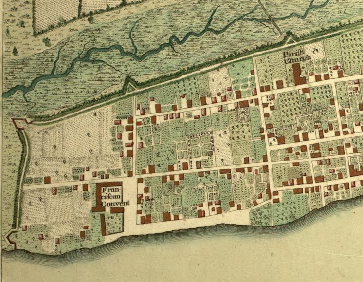
Description: Digitization provided by the USF Libraries Digitization Center. Rare Maps. This is a detail of a map of the plan of Saint Augustine, circa 1777. It focuses on the southern area of Saint Augustine. Oriented with north to the right. Relief shown pictorially. Streets and primary buildings of St. Augustine are shown. Distances in British miles. Measurements.Resolution: Scale [ca. 1:4,800]. "660 feet or 1 furlong."
Place Names: St. Johns, Saint Augustine, St Augustine, Franciscan Convent, Parish Church
ISO Topic Categories: inlandWaters, location, transportation, oceans
Keywords: Detail - Plan of the Town of St. Augustine the capital of East Florida, physical, historical, transportation, physical features, roads, inlandWaters, location, transportation, oceans, Unknown,1777
Source: Thomas D. Jefferys, The North American atlas, selected from the most authentic maps, charts, plans, &c. hitherto published. (London, : William Faden, 1777)
Map Credit: Courtesy of the Special Collections Department, University of South Florida. |
|