|
|
|
| FL Maps > Region > 1920-1949 |
|
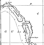
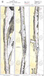
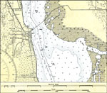
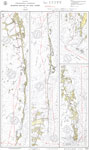
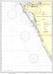
Sponging Grounds of the Coast of Florida- detail,
1922 |
|
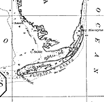
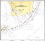
Sponging Grounds of the Coast of Florida- detail 2,
1922 |
|
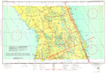
Georgia - Florida Inside Route: Sapelo Sound to St.Augustine,
1924 |

|
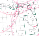
Jupiter Inlet to Barnes Sound,
1924 |
|
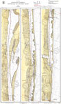
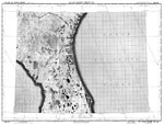
Inland Water Route from St. Augustine to Titusville,
1928 |
|
Inland Water Route from Titusville to Jupiter Inlet,
1928 |
|
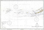
Florida Keys: Fowey Rocks to American Shoal,
1929 |
|
Florida Keys: American Shoal to Dry Tortugas,
1929 |
|
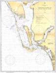
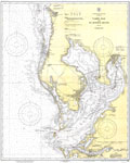
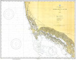
Estero Bay to Lemon Bay,
1929 |
|
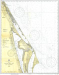
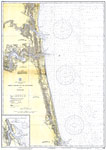
Ponce De Leon Inlet to Cape Canaveral,
1931 |
|
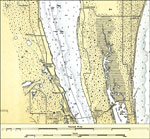
Cocoa and Merritt,
1931 |
|
Ponce De Leon Inlet and New Smyrna,
1931 |
|
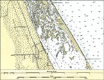
Oak Hill and Eldora,
1931 |
|
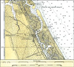
Titusville,
1931 |
|
Tampa Bay and St. Joseph Sound,
1932 |
|
Cape Canaveral to Bethel Shoal,
1932 |
|
Titusville To Jupiter Inlet,
1932 |
|
Barnes Sound to Key West,
1932 |
|
Fowey Rocks to Alligator Reef,
1933 |
|
Chatham River to Clam Pass,
1933 |
|
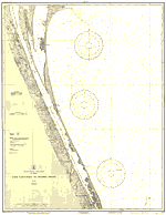
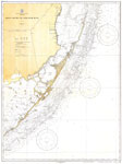
Amelia Island to St. Augustine,
1933 |
|
Lemon Bay to Passage Key Inlet,
1934 |
|
Orlando Sectional Aeronautical Chart,
1935 |
|
Great Circle Chart: Florida,
1941 |
|
AF Radar Chart: St. Johns River,
1945-1948 |
| Next | Last |
| FL Maps > Region > 1920-1949 |
Maps ETC
is a part of the
Educational Technology Clearinghouse
Produced by the
Florida Center for Instructional Technology
© 2007
College of Education
,
University of South Florida