|
|
|
| FL Maps > County > Lake |
Click on a thumbnail image to view a full size version of that map.
Lake County is Florida's 43rd county, established on May 27, 1887, from segments of Sumter County and Orange County. It gains its name from the abundance of lakes found in this area. Tavares is the county seat.
For earlier maps of this area, visit the Sumter County and Orange County map galleries.
|
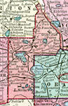
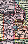
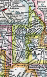
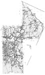
Lake County,
1911 |
|
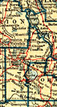
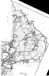
Lake County,
1911 |
|
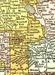
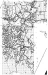
Lake County,
1914 |
|
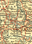
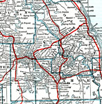
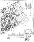
Lake County,
1916 |
|
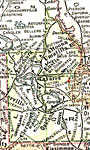
Lake County,
1916 |
|
Lake County,
1917 |
|
Lake County,
1917 |
|
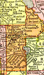
Lake County,
1920 |
|
Lake County,
1921 |
|
Lake County,
1921 |
|
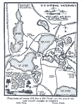
U. S. internal waterways, midst lakes and hills of Central Florida,
1925 |
|
Lake County,
1932 |
|
Lake,
1936 |
|
North Lake,
1936 |
|
Mid Lake,
1936 |
|
South Lake,
1936 |
|
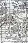
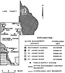
Water Management Districts and Hydrologic Units for Lake County,
1981 |
|
Lake EPA Superfund Sites,
2008 |
|
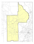
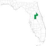
Locater Map of Lake County,
2008 |
|
Clipart Collection: Lake County Maps in 50 Colors,
2008 |

|
Plain Frames Collection: Lake County Maps in 30 Colors,
2008 |

|
Fancy Frames Collection: Lake County Maps in 30 styles,
2008 |

|
Florida Photo Collection: Lake County Maps in 30 styles,
2008 |
|
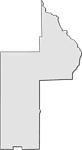
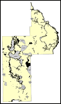
Florida Waterways: Lake County Outline,
2008 |
|
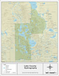
Florida Waterways: Lake County ,
2008 |
| First | Previous | Next | Last |
| FL Maps > County > Lake |
Maps ETC
is a part of the
Educational Technology Clearinghouse
Produced by the
Florida Center for Instructional Technology
© 2007
College of Education
,
University of South Florida