|
|
|
| FL Maps > Local > Sumter |
Click on a thumbnail image to view a full size version of that map.
|
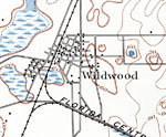
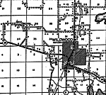
Wildwood,
1893 |
|
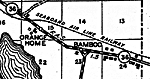
Bamboo,
1936 |
|
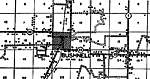
Bushnell,
1936 |
|
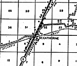
St. Catherine,
1936 |
|
Center Hill,
1936 |
|
Coleman,
1936 |
|
Mabel,
1936 |
|
Oxford,
1936 |
|
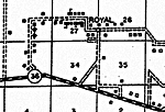
Royal,
1936 |
|
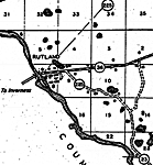
Rutland,
1936 |
|
Sumterville,
1936 |
|
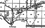
Tarrytown,
1936 |
|
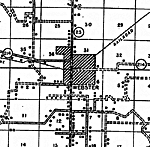
Webster,
1936 |
|
Wildwood,
1936 |
|
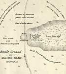
Battle Ground of Major Dade,
December 28, 1835 |
|
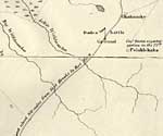
Detail Map of Major Dade Battle Ground: Dades Battle Ground,
December 28, 1835 |
| FL Maps > Local > Sumter |
Maps ETC
is a part of the
Educational Technology Clearinghouse
Produced by the
Florida Center for Instructional Technology
© 2007
College of Education
,
University of South Florida