| Home > Maps > St. Johns City and Local > Fort Matanzas Shoreline, 1900s | |
|
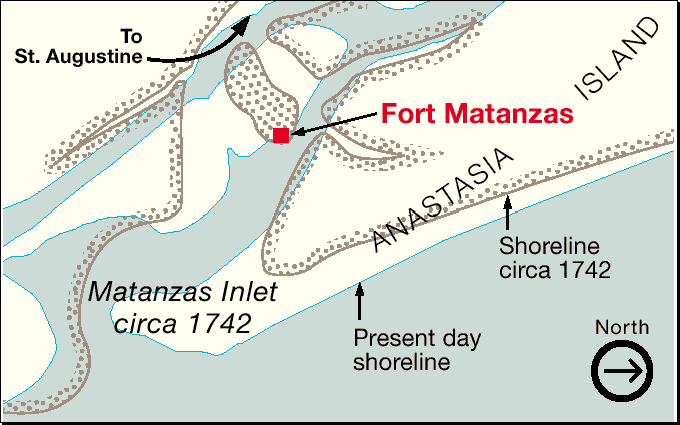
Map
contrasts present-day shoreline with shoreline circa 1742.
|
|
Map Credit: Adapted from a National Park Services map.
|
| Home > Maps > St. Johns City and Local > Fort Matanzas Shoreline, 1900s |
Exploring
Florida: A Social Studies Resource for Students and Teachers
Produced by the Florida Center for Instructional
Technology,
College of Education, University of South Florida © 2002.