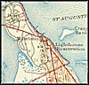
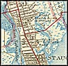
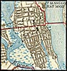
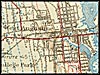
| Home > Maps > St. Johns City and Local | |
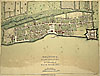
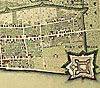
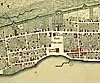
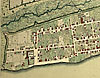
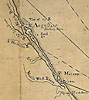
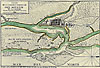
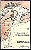
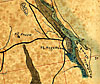
Click on a thumbnail image to view a full size version of that map.
| Home > Maps > St. Johns City and Local |
Exploring
Florida: A Social Studies Resource for Students and Teachers
Produced by the Florida Center for Instructional
Technology,
College of Education, University of South Florida © 2002.