| Home > Maps > St. Johns City and Local > St. Augustine, 1783 | |
|
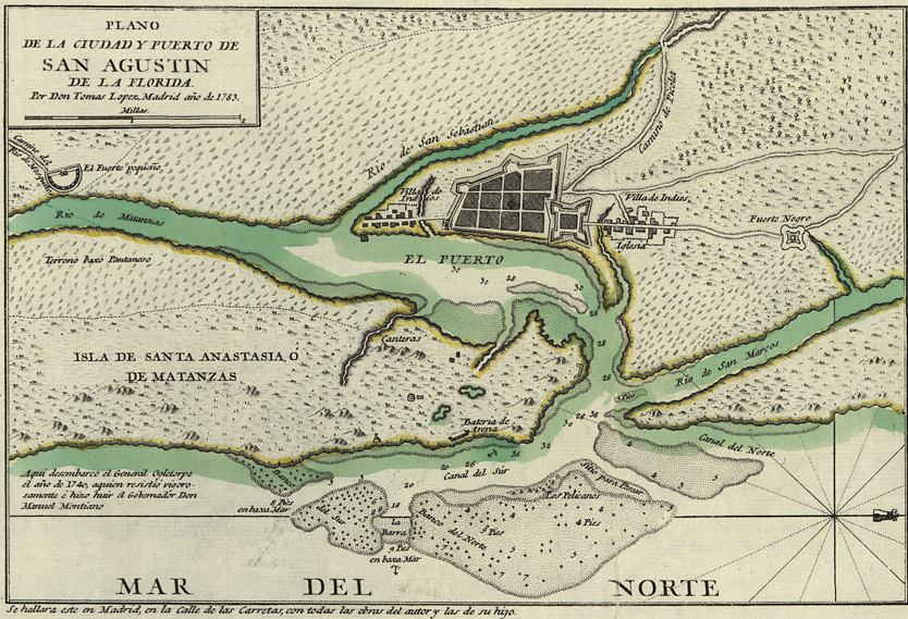
A
hand colored map showing a detailed view of the left side of a map of
St. Augustine from 1783. This view shows St. Augustine and its port.
|
|
Map Credit: Courtesy of the Library of Congress, Geography and Map Division.
|
| Home > Maps > St. Johns City and Local > St. Augustine, 1783 |
Exploring
Florida: A Social Studies Resource for Students and Teachers
Produced by the Florida Center for Instructional
Technology,
College of Education, University of South Florida © 2002.