| Home > Maps > St. Johns City and Local > East Florida Province, 1760s | |
|
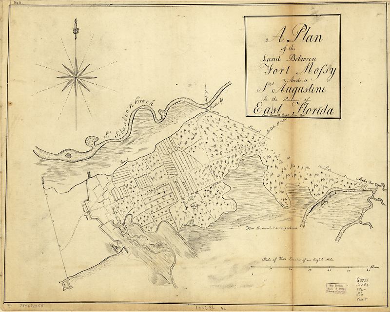
A
plan from the 1760s of the land between Fort Mose and St. Augustine in
the province of East Florida. It shows "Spanish old fields overgrown
with scrubs."
|
|
Map Credit: Courtesy of the Library of Congress, Geography and Map Division.
|
| Home > Maps > St. Johns City and Local > East Florida Province, 1760s |
Exploring
Florida: A Social Studies Resource for Students and Teachers
Produced by the Florida Center for Instructional
Technology,
College of Education, University of South Florida © 2002.