mapsExploring Florida
 FL Maps > County > Seminole > Florida Waterways: Seminole County Outline, 2008
Site Map 

Florida Waterways: Seminole County Outline, 2008


Puzzle Directions: Click on a puzzle piece and drag it where you want it. When you connect two pieces correctly, they will join together. Mix up the pieces again. View finished map in pop-up window.

Title: Florida Waterways: Seminole County Outline
Projection:
Source Bounding Coordinates:
W: E: N: S:

Back to Map Page
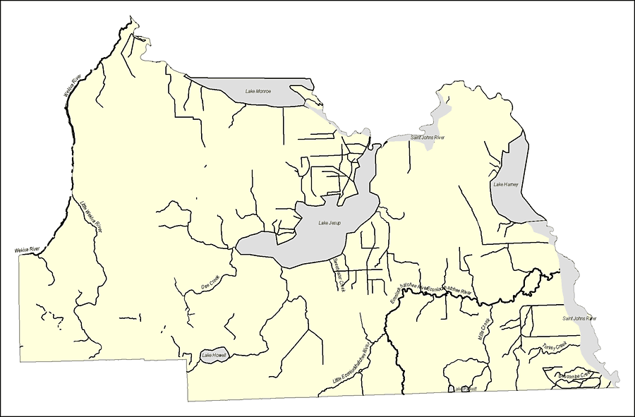
Description: This map was created by FCIT and shows the waterways of Seminole County. All major rivers, streams, creeks, lakes, and swamps are labeled. This map features Wekiva River, Lake Monroe, Little Wekiva River, Gee Creek, Saint Johns River, Lake Harney, Lake Jesup, Sweetwater Creek, Econlockhatchee River, Mills Creek, Tuckey Creek, Buscombe Creek, Lake Pickett, Little Econlockhatchee River, and Lake Howell.
Source: Florida Center for Instructional Technology, (Tampa, FL: University of South Florida, 2008)
Map Credit: Courtesy of the Florida Center for Instructional Technology
SearchLicensePDF HelpGIS Help Google Earth Help Zoomify Help

 FL Maps > County > Seminole > Florida Waterways: Seminole County Outline, 2008