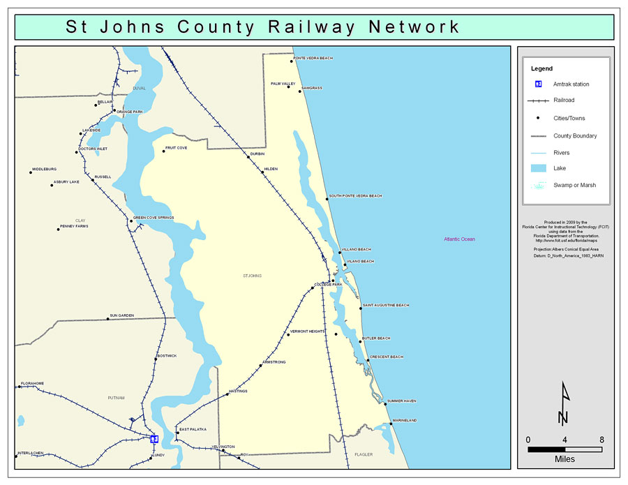
Description: This is a color railroad map of St. Johns county, 2009. It also shows location of cities and towns including St. Augustine and Ponte Vedra Beach, inland water including rivers and lakes, and Amtrak stations.
Place Names: St. Johns, Ponte Vedra Beach, �St. Augustine, �Saint Augustine, �Palm Valley, �Sawgrass, �Fruit Cove, �Durbin, �Hilden, �South Ponte Vedra Beach, �Villano Beach, �Vilano Beach, �College Park, �Saint Augustine Beach, �St. Augustine Beach, �Saint Augstine Shores, �Crescent Beach, �Summer Haven, �Butler Beach, �Vermont Heights, �Armstrong, �Hastings, �Yelvington
ISO Topic Categories: boundaries, �transportation, �inlandWaters
Keywords: St. Johns County Railway Network- Color, physical, �transportation, �political, county borders, railroads, boundaries, �transportation, �inlandWaters, Albers_Conical_Equal,2009
Source: Florida Center for Instructional Technology, Exploring Florida: Social Studies Resources �for Students and Teachers (Tampa, FL: University of South Florida, 2009)
Map Credit: Courtesy of the Florida Center for Instructional Technology, Author: Samer Slaiby |
|