mapsExploring Florida
 FL Maps > State > 1900-1919 > Florida, 1909
Site Map 

Florida, 1909


Puzzle Directions: Click on a puzzle piece and drag it where you want it. When you connect two pieces correctly, they will join together. Mix up the pieces again. View finished map in pop-up window.

Title: Florida
Projection: Unknown
Source Bounding Coordinates:
W: E: N: S:

Back to Map Page
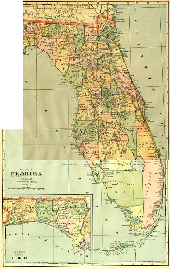
Description: This map of Florida shows county boundaries, county seats, and railroads connecting major cities current to 1909. There is an inset of the Northwestern portion (the Panhandle) of the state.
Source: George F. Cram, Cram's Superior Reference Atlas of the World (Chicago, IL: George F. Cram, 1909)
Map Credit: Courtesy the private collection of Roy Winkelman.
SearchLicensePDF HelpGIS Help Google Earth Help Zoomify Help

 FL Maps > State > 1900-1919 > Florida, 1909