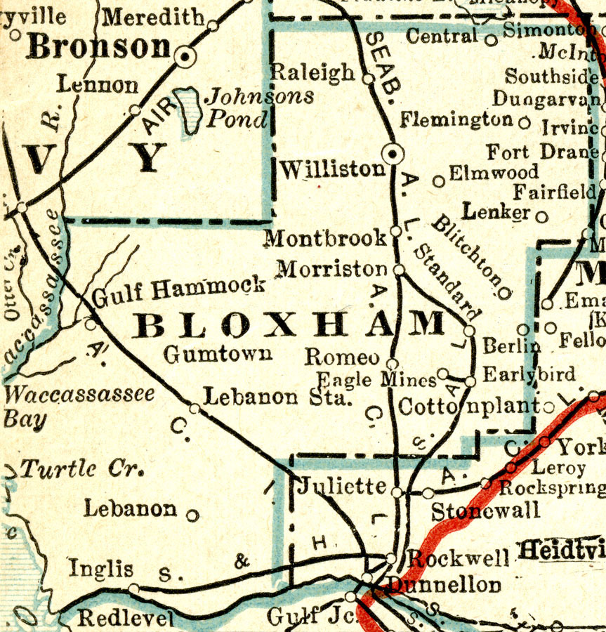
Description: A map of Bloxham County showing the proposed county lines, the proposed county seat (Williston), railroads, canals and principal auto routes connecting the major cities current to 1917. Bloxham County was a proposed county in Florida named for Governor William D. Bloxham, and was to incorporate lands from Levy and Marion Counties. The state legislature passed a bill in 1914 establishing the county, however voters failed to approve the proposal by referendum (1915), and therefore existed on paper only.
Source: C.O. Sylvester Mawson, Geographic Manual and New Atlas (Garden City, NY: Doubleday, Page & Company, 1917) 167
Map Credit: Courtesy the private collection of Roy Winkelman. |
|