Puzzle Directions: Click on a puzzle piece and drag it where you want it. When you connect two pieces correctly, they will join together. Mix up the pieces again. View finished map in pop-up window. |
|
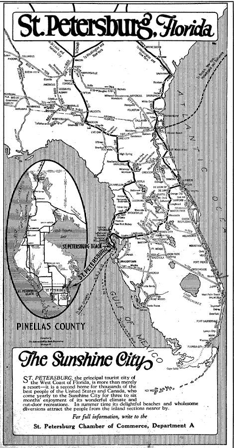
Title: St. Petersburg Florida
Projection: Unknown
Source Bounding Coordinates:
W: E: N: S: |
| | Description: Map shows Florida in its entirety and southern Georgia. map shows all major roads located in Florida during 1922 C.E. Map focuses on St. Peterburg and Pinellas County.
Source: The Automobile Blue Book Corporation, Middle Atlantic and Southeastern Automobile Blue Book 1922 (New York, NY: The Automobile Blue Book Corporation, 1921) 651
Map Credit: Courtesy the private collection of Roy Winkelman |
| |
|