mapsExploring Florida
 FL Maps > County > Taylor > Taylor County, 1890
Site Map 

Taylor County, 1890


Puzzle Directions: Click on a puzzle piece and drag it where you want it. When you connect two pieces correctly, they will join together. Mix up the pieces again. View finished map in pop-up window.

Title: Taylor County
Projection: Unknown
Source Bounding Coordinates:
W: E: N: S:

Back to Map Page
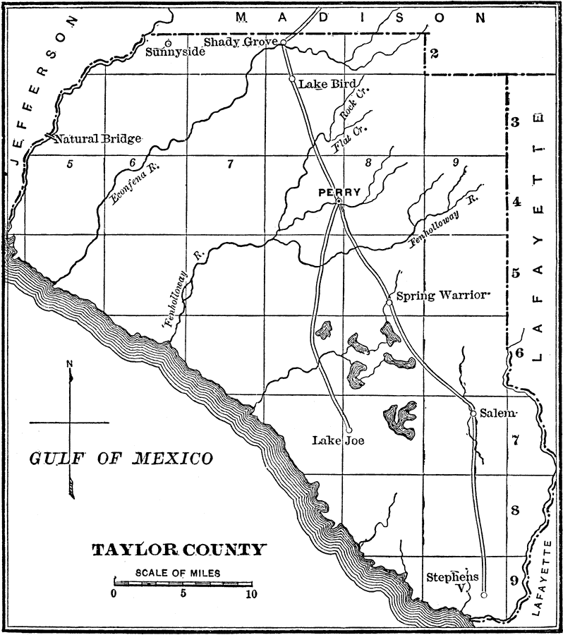
Description: A map of Taylor County showing the county seat (Perry), cities, towns, rivers, lakes, and roads present in 1890.
Source: Charles Ledyard Norton, A Handbook of Florida (New York, NY: Longmans, Green, & Co., 1890) 93
Map Credit: Courtesy the private collection of Roy Winkelman
SearchLicensePDF HelpGIS Help Google Earth Help Zoomify Help

 FL Maps > County > Taylor > Taylor County, 1890