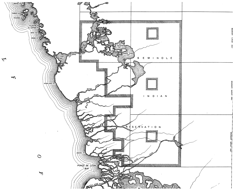
Description: This is a detailed map of the third middle portion of the county of Monroe in the state of Florida. Section Township Range (STR) is shown. This map shows all of the main keys and cities. Key to Florida Highway maps.
Place Names: Monroe, Snake Key, Turkey Key, Plover Key, Alligator Cove, Alligator Pt, Bird Key, Wood Key, Big Lostmans Bay, First Bay, Second Bay, Lostmans River, Highland Pt, Seminole Indian Reservation, Shark Pt, Ponce De Leon Bay, Gulf of Mexico
ISO Topic Categories: boundaries, transportation, location, inlandWaters, oceans
Keywords: Mid Monroe 3, physical, political, transportation, physical features, major political subdivisions, local jurisdictions, roads, boundaries, transportation, location, inlandWaters, oceans, Mercator, 1937
Source: , Florida State Road Department (, FL: , 1937)
Map Credit: Courtesy the private collection of Roy Winkelman. |
|