Puzzle Directions: Click on a puzzle piece and drag it where you want it. When you connect two pieces correctly, they will join together. Mix up the pieces again. View finished map in pop-up window. |
|
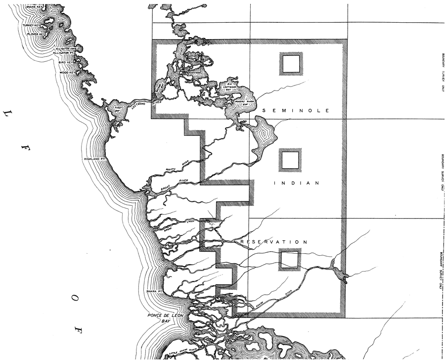
Title: Mid Monroe 3
Projection: Mercator,
Source Bounding Coordinates:
W: E: N: S: |
| | Description: This is a detailed map of the third middle portion of the county of Monroe in the state of Florida. Section Township Range (STR) is shown. This map shows all of the main keys and cities. Key to Florida Highway maps.
Source: , Florida State Road Department (, FL: , 1937)
Map Credit: Courtesy the private collection of Roy Winkelman. |
| |
|