Puzzle Directions: Click on a puzzle piece and drag it where you want it. When you connect two pieces correctly, they will join together. Mix up the pieces again. View finished map in pop-up window.
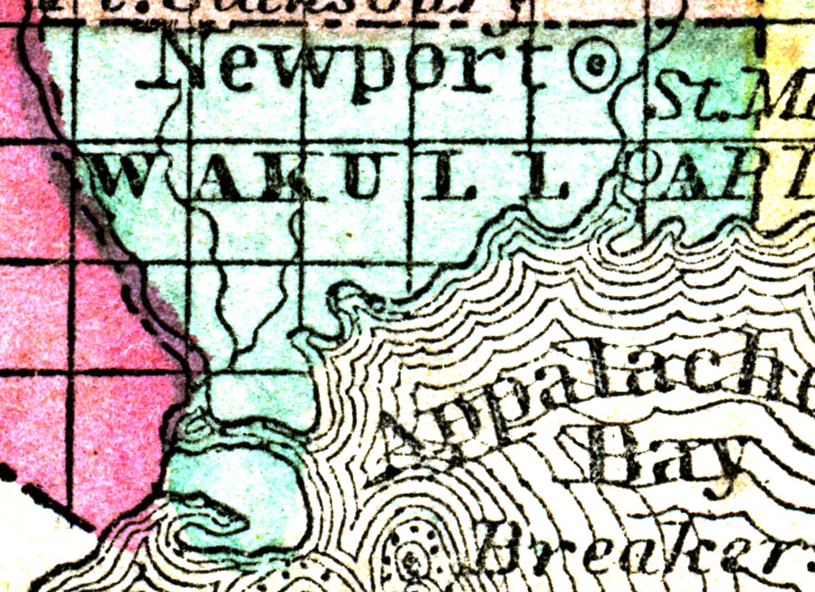
Description: A map of Wakulla County as of 1857 showing towns, rivers, and the county seat. Source: Charles W. Morse, Diamond Atlas (New York, NY: Samuel Gaston , 1857) Map Credit: Courtesy the private collection of Roy Winkelman