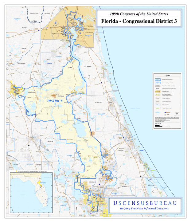
Description: This is a map of Florida's Congressional District 3 in the Congressional Districts of the United States - 108th Congress. It shows map legend, main cities, city roads, state roads, U. S. highways and county names.
Place Names: 2000-, Duval, Jacksonville, Clay, Putnam, East Palatka, Palatka, Interlachen, Alachua, Gainesville, Hawthorne, Lake George, Astor, Parsley, Pine Lakes, Lake Kathryn, Lake, Pine Hills, Atlantic Ocean
ISO Topic Categories: boundaries, transportation, oceans, inlandWaters
Keywords: 108th Congress - Florida's Congressional District 3, transportation, political, county borders, roads, boundaries, transportation, oceans, inlandWaters, Unknown,2003
Source: United States Census Bureau Geography Division, United States Census Bureau (Government Printing Office, 2003)
Map Credit: Courtesy of the United States Census Bureau. |
|