mapsExploring Florida
 FL Maps > Hurricanes and Tropical Storms > Storms by Decade > Hurricane Routes, 1860-1869
Site Map 

Hurricane Routes, 1860-1869


Puzzle Directions: Click on a puzzle piece and drag it where you want it. When you connect two pieces correctly, they will join together. Mix up the pieces again. View finished map in pop-up window.

Title: Hurricane Routes
Projection: Unknown
Source Bounding Coordinates:
W: E: N: S:

Back to Map Page
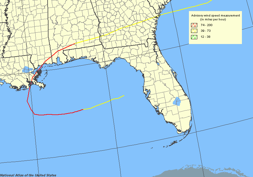
Description: This map shows the routes of major hurricanes that made landfall in the United States classified on the Saffir-Simpson Hurricane Scale as category 3 or higher hurricanes in 1860's.
Source: National Hurricane Center, National Atlas (, : U. S. Geological Survey, )
Map Credit: Courtesy of the National Atlas.
SearchLicensePDF HelpGIS Help Google Earth Help Zoomify Help

 FL Maps > Hurricanes and Tropical Storms > Storms by Decade > Hurricane Routes, 1860-1869