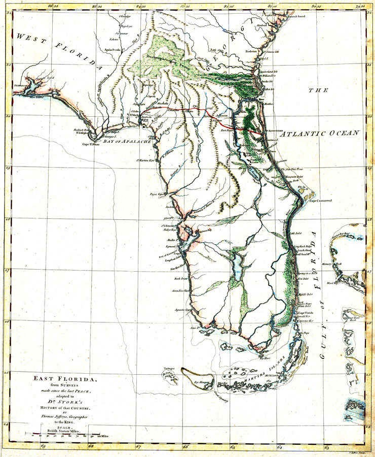
Title: East Florida, from surveys made since the last peace, adapted to Dr. Stork's History of that country
Projection: Unknown
Source Bounding Coordinates:
W: -86 E: -79 N: 32 S: 24 |
| | Description: Digitization provided by the USF Libraries Digitization Center. Rare Maps. This is a map of Florida showing main cities, inland waters, etc mainly from East Florida. Relief shown pictorially. Prime meridians: London and Ferro. A manuscript scale of 100 British statute miles has been added below the title. Measurements.Dimensions: 41 x 34 cm. on sheet 44 x 36 cm. Measurements.Resolution: Scale ca. 1:2,300,000
Source: Thomas Jefferys, A Description of East Florida (London, : William Stork, 1764)
Map Credit: Courtesy of the Special Collections Department, University of South Florida. |
| |
| FL Maps > State > 1760-1779 > East Florida, from surveys made since the last peace, adapted to Dr. Stork's History of that country, 1764 | |
|