mapsExploring Florida
 FL Maps > County > Monroe > The Florida Keys, 1859
Site Map 

The Florida Keys, 1859


Puzzle Directions: Click on a puzzle piece and drag it where you want it. When you connect two pieces correctly, they will join together. Mix up the pieces again. View finished map in pop-up window.

Title: The Florida Keys
Projection: Unknown
Source Bounding Coordinates:
W: E: N: S:

Back to Map Page
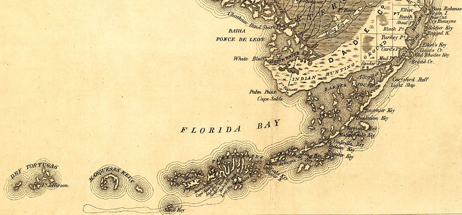
Description: Map of the Florida Keys from Boca Rabones (Boca Raton) to the Dry Tortugas taken from a 1859 railroad map of Florida. The map scale is 1:1,140,480.
Source: , Annual Report of the Surveyor General for 1859 (New York, NY: General Land Office, 1859)
Map Credit: Courtesy of the Geography and Map Division of the Library of Congress.
SearchLicensePDF HelpGIS Help Google Earth Help Zoomify Help

 FL Maps > County > Monroe > The Florida Keys, 1859