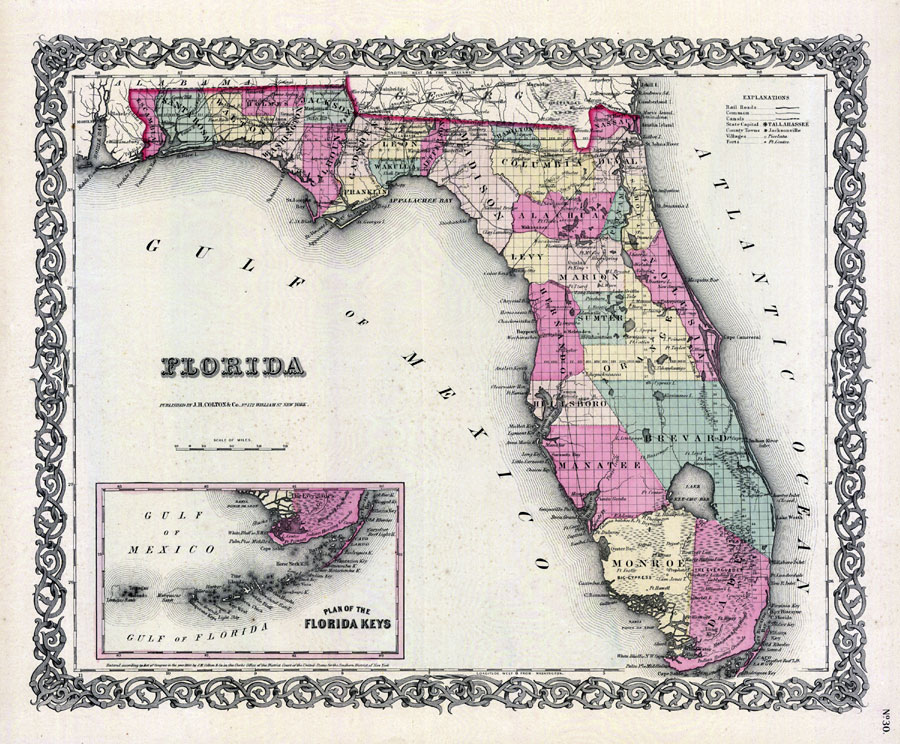
Description: Digitization provided by the USF Libraries Digitization Center. Rare Maps. This is a map of Florida showing the counties, cities and towns, inland waters, railroads, roads, etc, circa 1855. There is an inset map of the Florida Keys as well. Section township range (STR) is shown. Measurements.Resolution: Scale [ca. 1:2,350,000]
Source: J. H. Colton & Co., (New York, NY: J. H. Colton & Co., 1855)
Map Credit: Courtesy of the Special Collections Department, University of South Florida. |
|