mapsExploring Florida
 FL Maps > County > St. Johns > St. Johns County, 1883
Site Map 

St. Johns County, 1883


Puzzle Directions: Click on a puzzle piece and drag it where you want it. When you connect two pieces correctly, they will join together. Mix up the pieces again. View finished map in pop-up window.

Title: St. Johns County
Projection: Unknown
Source Bounding Coordinates:
W: -5 E: -4 N: 30.25 S: 29

Back to Map Page
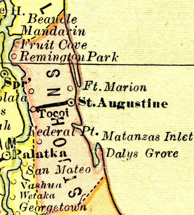
Description: A map of St. Johns County showing county lines, the county seat (St. Augustine), and railroads connecting the major cities current to 1883.
Source: L.B. Folger, (Broadway, NY: Phillips & Hunt, 1883)
Map Credit: Courtesy the private collection of Roy Winkelman.
SearchLicensePDF HelpGIS Help Google Earth Help Zoomify Help

 FL Maps > County > St. Johns > St. Johns County, 1883