mapsExploring Florida
 FL Maps > County > Pinellas > Water Management Districts and Hydrologic Units for Pinellas County, 1981
Site Map 

Water Management Districts and Hydrologic Units for Pinellas County, 1981


Puzzle Directions: Click on a puzzle piece and drag it where you want it. When you connect two pieces correctly, they will join together. Mix up the pieces again. View finished map in pop-up window.

Title: Water Management Districts and Hydrologic Units for Pinellas County
Projection: Unknown
Source Bounding Coordinates:
W: E: N: S:

Back to Map Page
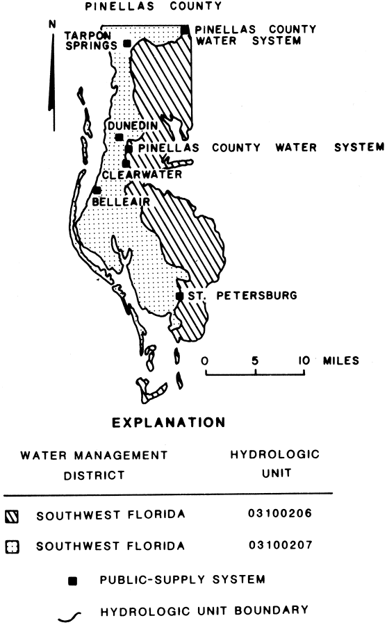
Description: This map from the U. S. Geological Survey Open-File Report 81-1060, Estimated Water Use in the Southwest Florida Water Management District and Adjacent Areas, 1980, shows the location of public-supply systems, water management district and hydrologic units for Pinellas County.
Source: A. D. Duerr and J. T. Trommer, USGS Open-File Report 81-1060 (Tallahassee, FL: U. S. Geological Survey, 1981) 16
Map Credit: Courtesy the University of South Florida Library
SearchLicensePDF HelpGIS Help Google Earth Help Zoomify Help

 FL Maps > County > Pinellas > Water Management Districts and Hydrologic Units for Pinellas County, 1981