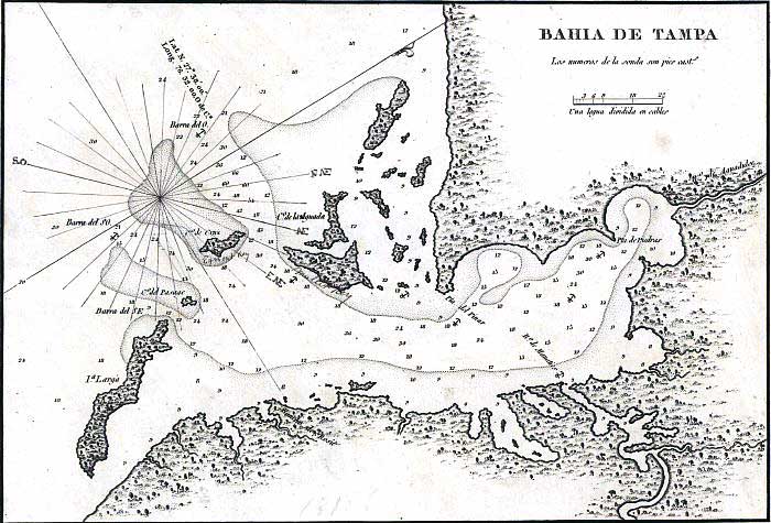
Description: This map of the Tampa Bay shows soundings in feet, anchorage sites, and shoreline features. North is oriented to the upper-right.
Place Names: 1800-1819, Bahia de Tampa, Tampa Bay, Pta. del Pinar, Pinellas, Rio de Manaties, Manatee River, Pta. de Piedras, Rio de Aguadulce, Hillsborough River, Isla Larga, Anna Maria Island, Cayo del Pasage, Passage Key, Cayo de Cruz, Egmont Key, Cayo de la Aguada, Mullet Key
ISO Topic Categories: inlandWaters, oceans
Keywords: Bahia de Tampa, physical, historical, hydrological, physical features, water depths, inlandWaters, oceans, Unknown,1806
Source: , (Madrid, : Dericcion de Hidrografía, 1806)
Map Credit: Courtesy of the Geography and Map Division of the Library of Congress |
|
