|
|
|
| FL Maps > Region > 1800-1819 |
|
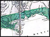
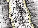
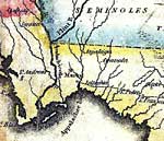
Detail - A map exhibiting all the new discoveries in the interior parts of North America ,
1802 |
|
Detail - A map exhibiting all the new discoveries in the interior parts of North America ,
1802 |
|
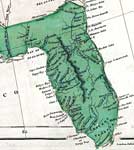
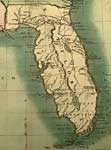
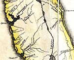
West Florida,
1803 to 1819 |
|
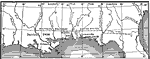
Detail - A map of the West Indies and of the Mexican-Gulph [sic],
1806 |
|
Detail - A map of the West Indies and of the Mexican-Gulph [sic],
1806 |
|
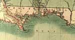
Detail - A new map of part of the United States of North America...,
1806 |
|
Detail - A new map of part of the United States of North America...,
1806 |
|
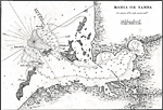
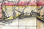
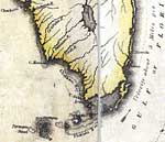
Bahia de Tampa,
1806 |
|
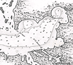
Detail - Bahia de Tampa,
1806 |
|
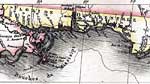
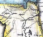
Carte des deux Florides et de la Louisiane inferieure: East and West Florida,
1807 |
|
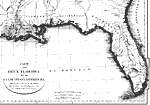
Jackson's Indian and Gulf Campaigns,
1813 |
|
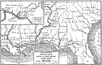
Jackson's Indian and Gulf Campaigns,
1813 to 1818 |
|
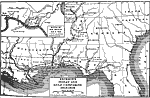
Detail - Map of the United States of America ,
1816 |
|
Detail - Map of the United States of America ,
1816 |
|
Detail - Map of the United States of America ,
1816 |
|
Detail - Map of the United States of America ,
1816 |
|
Detail - Map of the United States of America ,
1816 |
| FL Maps > Region > 1800-1819 |
Maps ETC
is a part of the
Educational Technology Clearinghouse
Produced by the
Florida Center for Instructional Technology
© 2007
College of Education
,
University of South Florida