|
|
|
| FL Maps > County > Walton |
Click on a thumbnail image to view a full size version of that map.
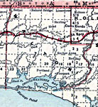
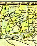
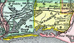
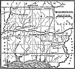
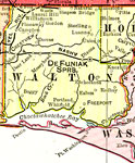
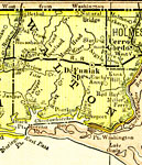
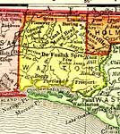
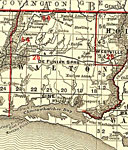
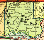
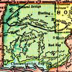
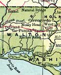
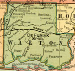
Walton County is Florida's 8th county, established on December 29, 1824, from a segment of Escambia County. It gains its name from Colonel George Walton, secretary of the Territory of West Florida from 1821 to 1822 and then of the combined territory from 1822 to 1826. DeFuniak Springs is the county seat. Of historical interest, Colonel Walton's daughter, Octavia, suggested the name of Tallahassee for the new capital.
For earlier maps of this area, visit the Escambia County map gallery.
|
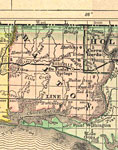
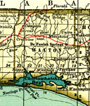
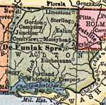
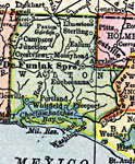
Walton County,
1889 |
|
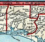
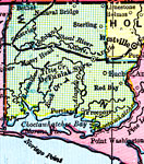
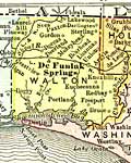
Walton County,
1890 |
|
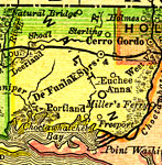
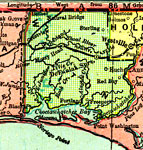
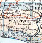
Walton County,
1890 |
|
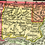
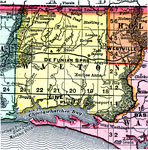
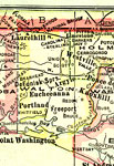
Walton County,
1890 |
|
Walton County,
1892 |
|
Walton County,
1893 |
|
Walton County,
1894 |
|
Walton County,
1895 |
|
Walton County,
1897 |
|
Walton County,
1898 |
|
Walton County,
1898 |
|
Walton County,
1898 |
|
Walton County,
1899 |
|
Walton County,
1900 |
|
Walton County,
1900 |
|
Florida Railroads - Walton County,
1900 |
|
Walton County,
1902 |
|
Walton County,
1904 |
|
Walton County,
1907 |
|
Walton County,
1909 |
|
Walton County,
1910 |
|
Walton County,
1911 |
|
Walton County,
1914 |
|
Walton County,
1916 |
|
Walton County,
1916 |
| First | Previous | Next | Last |
| FL Maps > County > Walton |
Maps ETC
is a part of the
Educational Technology Clearinghouse
Produced by the
Florida Center for Instructional Technology
© 2007
College of Education
,
University of South Florida