|
|
|
| FL Maps > Local > Bay |
Click on a thumbnail image to view a full size version of that map.
|
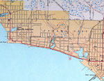
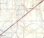
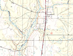
Panama City West of Harrison Ave.,
1943 |
|
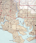
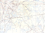
Panama City East of Harrison Ave.,
1943 |
|
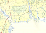
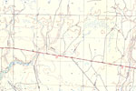
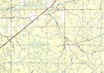
West Bay, Florida,
1944 |
|
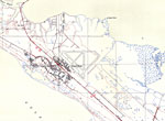
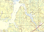
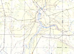
Tyndall Field, Florida,
1944 |
|
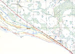
Davis Beach, Florida,
1944 |
|
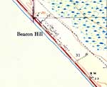
Beacon Hill, Florida,
1944 |
|
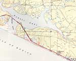
Hollywood Beach, Florida,
1944 |
|
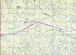
Laird, Florida,
1944 |
|
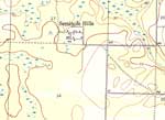
Seminole Hills, Florida,
1944 |
|
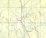
Vicksburg, Florida,
1944 |
|
Southport, Florida,
1944 |
|
Lyn Haven, Florida,
1944 |
|
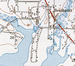
Southport,
1944 |
|
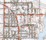
Springfield and Bay Harbor, Florida,
1945 |
|
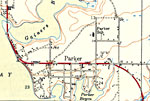
Parker, Florida,
1945 |
|
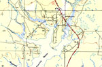
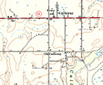
Callaway, Florida,
1945 |
|
College Station, Florida,
1945 |
|
Pitts Island, Florida,
1945 |
|
Cooks Bayou, Florida,
1945 |
|
Bayou George, Florida,
1945 |
|
Youngstown, Florida,
1945 |
|
Nixon and Cairo, Florida,
1945 |
|
Sandy Creek, Florida,
1945 |
|
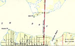
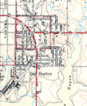
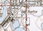
Bay Harbor,
1945 |
|
Springfield,
1945 |
| First | Previous | Next | Last |
| FL Maps > Local > Bay |
Maps ETC
is a part of the
Educational Technology Clearinghouse
Produced by the
Florida Center for Instructional Technology
© 2007
College of Education
,
University of South Florida