|
|
|
| FL Maps > County > Alachua |
Click on a thumbnail image to view a full size version of that map.
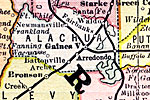
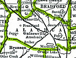
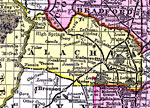
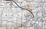
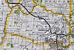
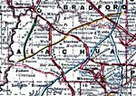
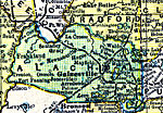
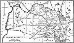
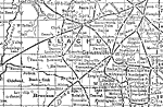
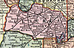
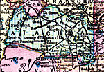
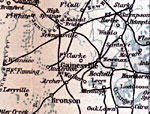
Alachua County is Florida's 9th county, established on December 29, 1824, from a segment of St. Johns County. It gains its name from a Spanish ranch that existed in the area during the late 1600s. It is believed that the name comes from a large chasm that is located northwest of Gainesville. Gainesville is the county seat.
For earlier maps of this area, visit the St. Johns County map gallery.
|
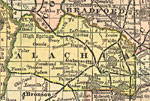
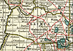
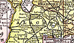
Alachua County,
1883 |
|
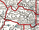
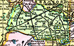
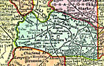
Alachua County,
1886 |
|
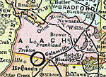
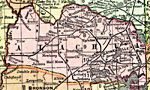
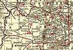
Alachua County,
1888 |
|
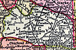
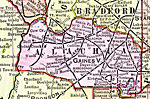
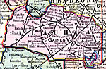
Alachua County,
1888 |
|
Alachua County,
1888 |
|
Alachua County,
1889 |
|
Alachua County,
1890 |

|
Alachua County,
1890 |
|
Alachua County,
1890 |
|
Alachua County,
1892 |
|
Alachua County,
1893 |
|
Alachua County,
1894 |
|
Alachua County,
1895 |
|
Alachua County,
1897 |
|
Alachua County,
1898 |
|
Alachua County,
1898 |
|
Alachua County,
1899 |
|
Alachua County,
1900 |
|
Alachua County,
1900 |
|
Florida Railroads - Alachua County,
1900 |
|
Alachua County,
1902 |
|
Alachua County,
1902 |
|
Alachua County,
1902 |
|
Alachua County,
1904 |
|
Alachua County,
1904 |
| First | Previous | Next | Last |
| FL Maps > County > Alachua |
Maps ETC
is a part of the
Educational Technology Clearinghouse
Produced by the
Florida Center for Instructional Technology
© 2007
College of Education
,
University of South Florida