|
|
|
| FL Maps > County > DeSoto |
Click on a thumbnail image to view a full size version of that map.
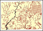
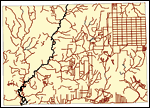
DeSoto County is Florida's 42nd county, established on May 19, 1887, from a segment of Manatee County. It is one of two counties in Florida named after Hernando de Soto. Arcadia is the county seat.
For earlier maps of this area, visit the Manatee County map gallery.
|
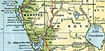
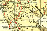
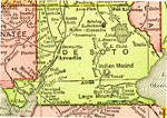
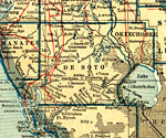
Desoto County,
1907 |
|
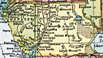
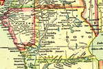
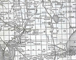
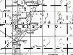
DeSoto County,
1910 |
|
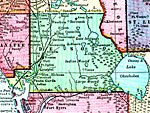
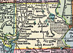
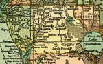
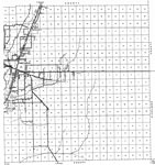
Desoto County,
1911 |
|
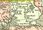
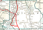
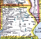
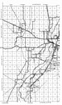
Desoto County,
1911 |
|
Desoto County,
1914 |
|
Desoto County,
1916 |
|
DeSoto County,
1916 |
|
Desoto County,
1917 |
|
Desoto County,
1917 |
|
DeSoto County,
1920 |
|
Desoto County,
1920 |
|
Desoto County,
1921 |
|
Desoto County,
1921 |
|
DeSoto County,
1932 |
|
East Desoto,
1936 |
|
West Desoto,
1936 |
|
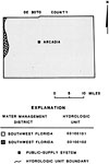
Water Management Districts and Hydrologic Units for De Soto County,
1981 |

|
Locater Map of Desoto County,
2008 |

|
Clipart Collection: Desoto County Maps in 50 Colors,
2008 |

|
Plain Frames Collection: Desoto County Maps in 30 Colors,
2008 |

|
Fancy Frames Collection: Desoto County Maps in 30 styles,
2008 |

|
Florida Photo Collection: Desoto County Maps in 30 styles,
2008 |
|
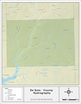
Florida Waterways: DeSoto County Outline,
2008 |
|
Florida Waterways: DeSoto County ,
2008 |
|
Florida Waterways: DeSoto County Outline without Labels,
2008 |
| First | Previous | Next | Last |
| FL Maps > County > DeSoto |
Maps ETC
is a part of the
Educational Technology Clearinghouse
Produced by the
Florida Center for Instructional Technology
© 2007
College of Education
,
University of South Florida