|
|
|
| FL Maps > Local > Taylor |
Click on a thumbnail image to view a full size version of that map.
|
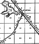
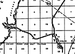
Athena,
1936 |
|
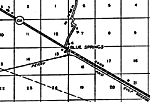
Blue Springs,
1936 |
|
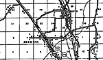
Boyd,
1936 |
|
Clara,
1936 |
|
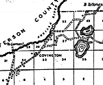
Covington,
1936 |
|
Foley,
1936 |
|
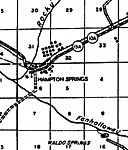
Hampton Springs,
1936 |
|
Iddo,
1936 |
|
Keatons Beach,
1936 |
|
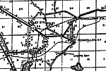
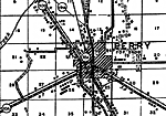
Perry,
1936 |
|
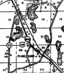
Pineland,
1936 |
|
Salem,
1936 |
|
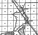
Scanlon,
1936 |
|
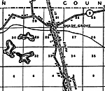
Shady Grove,
1936 |
|
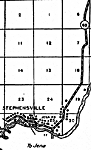
Stephensville,
1936 |
|
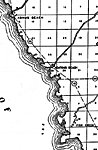
Steinhatchee,
1978 |
|
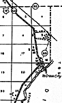
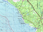
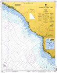
Horseshoe Point to Rock Islands,
1997 |
| FL Maps > Local > Taylor |
Maps ETC
is a part of the
Educational Technology Clearinghouse
Produced by the
Florida Center for Instructional Technology
© 2007
College of Education
,
University of South Florida