|
|
|
| FL Maps > County > Hillsborough |
Click on a thumbnail image to view a full size version of that map.
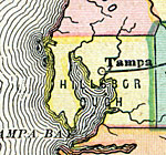
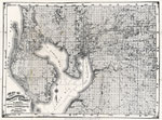
Hillsborough County is Florida's 18th county, established on January 25, 1834, from a segment of St. Johns County. It gains its name from Wills Hills (1718-1793), the Earl of Hillsborough, who became Secretary of State for the colonies in 1768. Tampa is the county seat. The current city of Tampa arose from the fishing and agricultural village located outside of Fort Brooks. Residents didn't like to use the military name for their home so they used an old Indian term for the area, Tampa.
For earlier maps of this area, visit the St. Johns County map gallery.
|
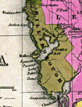
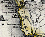
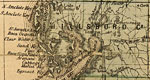
Detail - Florida,
1839 |
|
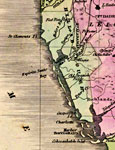
Detail - Map of the State of Florida,
1842 |
|
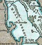
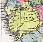
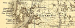
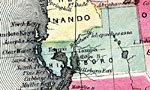
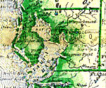
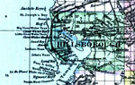
Hillsborough County,
1845 |
|
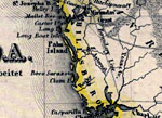
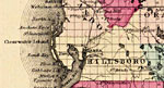
Hillsborough County,
1845 |
|
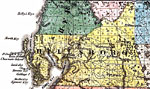
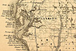
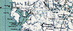
Hillsborough County,
1850 |
|
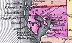
Hillsborough County,
1850 |
|
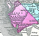
Hillsborough County,
1856 |
|
Hillsborough County,
1857 |
|
Hillsborough County,
1859 |
|
Hillsborough County,
1859 |
|
Hillsboro County,
1860 |
|
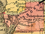
Hillsborough County,
1860 |
|
Hillsborough County,
1860 |
|
Hillsborough County,
1863 |
|
Hillsborough County,
1865 |
|
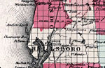
Hillsborough County,
1873 |
|
Hillsborough County,
1874 |
|
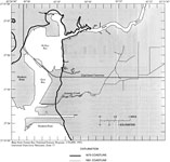
Shoreline Changes in Tampa's McKay and East Bay,
1879 to 1991 |
|
Hillsborough County,
1880 |
|
Hillsborough County,
1880 |
|
Map of Hillsborough County,
1882 |
|
Hillsborough County,
1882 |
|
Hillsborough County,
1883 |
|
Hillsborough County,
1886 |
|
Hillsborough County,
1886 |
| Next | Last |
| FL Maps > County > Hillsborough |
Maps ETC
is a part of the
Educational Technology Clearinghouse
Produced by the
Florida Center for Instructional Technology
© 2007
College of Education
,
University of South Florida