|
|
|
| FL Maps > County > Martin |
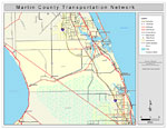
Click on a thumbnail image to view a full size version of that map.
Martin County is Florida's 64th county, established on May 30, 1925, from segments of Palm Beach County and Saint Lucie County. It gains its name from John W. Martin, the Governor of Florida (1925-1929) at the time of the county's creation. Stuart is the county seat.
For earlier maps of this area, visit the Palm Beach County and Saint Lucie County map galleries.
|
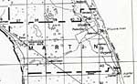
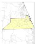
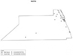
Martin County,
1932 |
|
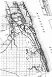
Martin,
1936 |
|
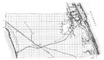
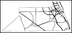
East Martin,
1936 |
|
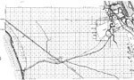
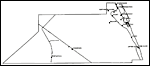
West Martin,
1936 |
|
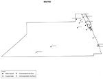
Martin EPA Superfund Sites,
2008 |
|
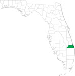
Locater Map of Martin County,
2008 |

|
Clipart Collection: Martin County Maps in 50 Colors,
2008 |

|
Plain Frames Collection: Martin County Maps in 30 Colors,
2008 |
|
Fancy Frames Collection: Martin County Maps in 30 styles,
2008 |

|
Florida Photo Collection: Martin County Maps in 30 styles,
2008 |
|
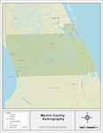
Florida Waterways: Martin County Outline,
2008 |
|
Florida Waterways: Martin County ,
2008 |
|
Florida Waterways: Martin County Outline without Labels,
2008 |

|
Martin "Abstract" Style Maps in 30 Styles,
2008 |

|
Martin County "Fun" Maps in 30 Styles,
2008 |
|
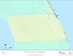
Florida Seagrass: Martin,
2008 |
|
Martin County Cities with Labels,
2009 |
|
Martin County Cities Outline,
2009 |
|
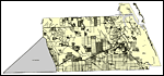
Martin County Road Network- Black and White,
2009 |
|
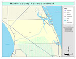
Martin County Railway Network- Black and White,
2009 |
|
Martin County Railway Network- Color,
2009 |
|
Martin County Road Network- Color,
2009 |
| FL Maps > County > Martin |
Maps ETC
is a part of the
Educational Technology Clearinghouse
Produced by the
Florida Center for Instructional Technology
© 2007
College of Education
,
University of South Florida