|
|
|
| FL Maps > County > Citrus |
Click on a thumbnail image to view a full size version of that map.
Citrus County is Florida's 44th county, established on June 2, 1887, from a segment of Hernando County. It gains its name as a tribute to the main agricultural product in Florida. Inverness, after the ancient capital of the Scottish Highlands, is the county seat. Of interest historically, the Crystal River Indian mounds are located in this county.
For earlier maps of this area, visit the Hernando County map gallery.

|
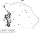
Florida Photo Collection: Citrus County Maps in 30 styles,
2008 |
|
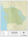
Florida Waterways: Citrus County ,
2008 |
|
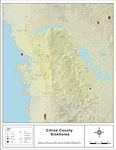
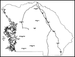
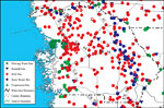
Sinkholes of Citrus County, Florida,
2008 |
|
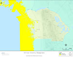
Florida Waterways: Citrus County Outline without Labels,
2008 |

|
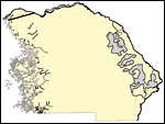
Citrus "Abstract" Style Maps in 30 Styles,
2008 |

|
Citrus County "Fun" Maps in 30 Styles,
2008 |
|
Florida Seagrass: Citrus,
2008 |

|
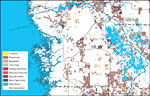
Citrus County Cities with Labels,
2009 |
|
Citrus County Cities Outline,
2009 |
|
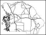
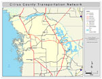
Citrus County Road Network- Black and White,
2009 |
|
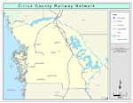
Citrus County Railway Network- Black and White,
2009 |
|
Citrus County Railway Network- Color,
2009 |
|
Citrus County Road Network- Color,
2009 |
|
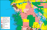
Withlacoochee River Watershed Distribution of Generalized Future Land Use, Ca. 2010- Citrus County,
May 9, 2001 |
|
Withlacoochee River Watershed Distribution of 1995 Agricultural Land Use/Cover- Citrus County,
May 9, 2001 |
|
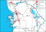
Withlacoochee River Watershed Distribution of Hazardous Waste Clean Up Sites, Landfills and Wastewater Facilities- Citrus County,
May 9, 2001 |
|
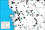
Withlacoochee River Watershed Distribution of Water Management Data Base Monitoring Sites- Citrus County,
May 9, 2001 |
|
Withlacoochee River Watershed Distribution of Soil Hydrologic Groups- Citrus County,
May 9, 2001 |
|
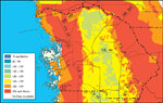
Withlacoochee River Watershed Ground Water Pollution Potential
to the Floridan Aquifer (D.R.A.S.T.I.C.)- Citrus County,
May 9, 2001 |
|
Withlacoochee River Watershed Recharge to/Discharge from the Floridan Aquifer In Inches Per Year- Citrus County,
May 9, 2001 |
|
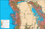
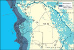
Withlacoochee River Watershed Distribution of FEMA 100-Year Flood Zones- Citrus County,
May 9, 2001 |
|
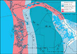
Withlacoochee River Watershed Distribution of 1995 Urban Land Use Within the FEMA 100-Year Flood Zone- Citrus County,
May 9, 2001 |
|
Withlacoochee River Watershed Distribution of Natural Systems - 1995- Citrus County,
May 9, 2001 |
|
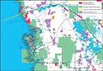
Withlacoochee River Watershed Strategic Habitat Conservation Areas, Areas of Conservation Interest, and Potential Natural Areas- Citrus County,
May 9, 2001 |
|
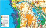
Withlacoochee River Watershed Distribution of 1995 Land Use/Cover- Citrus County,
May 9. 2001 |
| First | Previous | Next | Last |
| FL Maps > County > Citrus |
Maps ETC
is a part of the
Educational Technology Clearinghouse
Produced by the
Florida Center for Instructional Technology
© 2007
College of Education
,
University of South Florida