|
|
|
| FL Maps > County > Madison |
Click on a thumbnail image to view a full size version of that map.
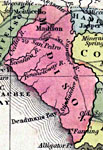
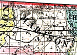
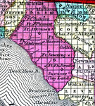
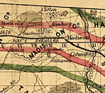
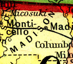
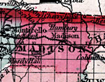
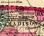
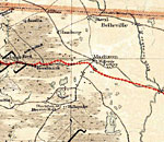
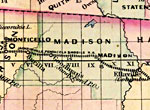
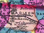
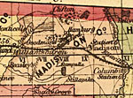
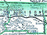
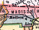
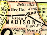
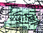
Madison County is Florida's 14th county, established on December 26, 1827, from a segment of Jefferson County. It gains its name from James Madison (1751-1836), the 4th President of the United States (1809-1817). Many of the original settlers in this area were from Virginia. Madison, originally called Hickstown after the Seminole Indian chief John Hicks, is the county seat.
For earlier maps of this area, visit the Jefferson County map gallery.
|
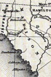
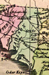
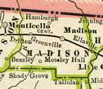
Madison County,
1832 |
|
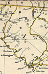
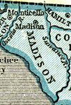
Madison County,
1834 |
|
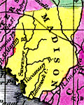
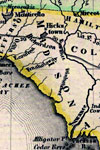
Madison County,
1834 |
|
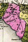
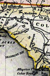
Detail - Florida,
1839 |
|
Detail - Map of the State of Florida,
1842 |
|
Madison County,
1845 |
|
Madison County,
1845 |
|
Madison County,
1850 |
|
Madison County,
1850 |
|
Madison County,
1856 |
|
Madison County,
1857 |
|
Madison County,
1859 |
|
Madison County,
1860 |
|
Madison,
1860 |
|
Madison County,
1863 |
|
Madison County,
1864 |
|
Madison County,
1871 |
|
Madison County,
1873 |
|
Madison County,
1874 |
|
Madison County,
1880 |
|
Madison County,
1880 |
|
Madison County,
1882 |
|
Madison County,
1883 |
|
Madison County,
1886 |
|
Madison County,
1886 |
| Next | Last |
| FL Maps > County > Madison |
Maps ETC
is a part of the
Educational Technology Clearinghouse
Produced by the
Florida Center for Instructional Technology
© 2007
College of Education
,
University of South Florida