|
|
|
| FL Maps > Local > Alachua |
Click on a thumbnail image to view a full size version of that map.
|
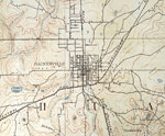
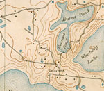
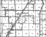
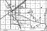
Gainesville Area,
1894 |
|
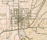
Gainesville Town Center,
1894 |
|
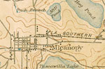
Micanopy,
1894 |
|
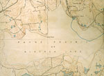
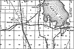
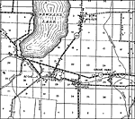
Payne Prairie,
1894 |
|
Tacoma,
1894 |
|
Alachua, Eastern Portion,
1936 |
|
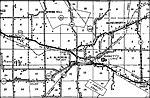
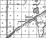
Arredondo,
1936 |
|
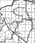
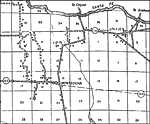
Bland,
1936 |
|
Cadillac,
1936 |
|
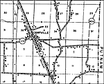
Campville,
1936 |
|
Earlton,
1936 |
|
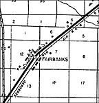
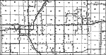
Fairbanks,
1936 |
|
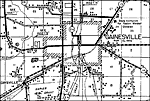
Gainesville,
1936 |
|
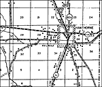
Hawthorne,
1936 |
|
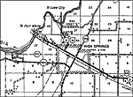
High Springs,
1936 |
|
La Crosse,
1936 |
|
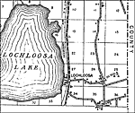
Lochloosa,
1936 |
|
Monteocha,
1936 |
|
Newberry,
1936 |
|
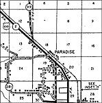
Paradise,
1936 |
|
Peach Orchard,
1936 |
|
Phifer,
1936 |
|
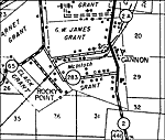
Rocky Point,
1936 |
|
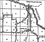
Santa Fe,
1936 |
|
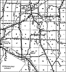
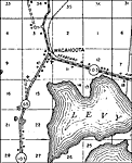
Wacahoota,
1936 |
| Next | Last |
| FL Maps > Local > Alachua |
Maps ETC
is a part of the
Educational Technology Clearinghouse
Produced by the
Florida Center for Instructional Technology
© 2007
College of Education
,
University of South Florida